Lewis F. Rogers Institute for Environmental and Spatial Analysis
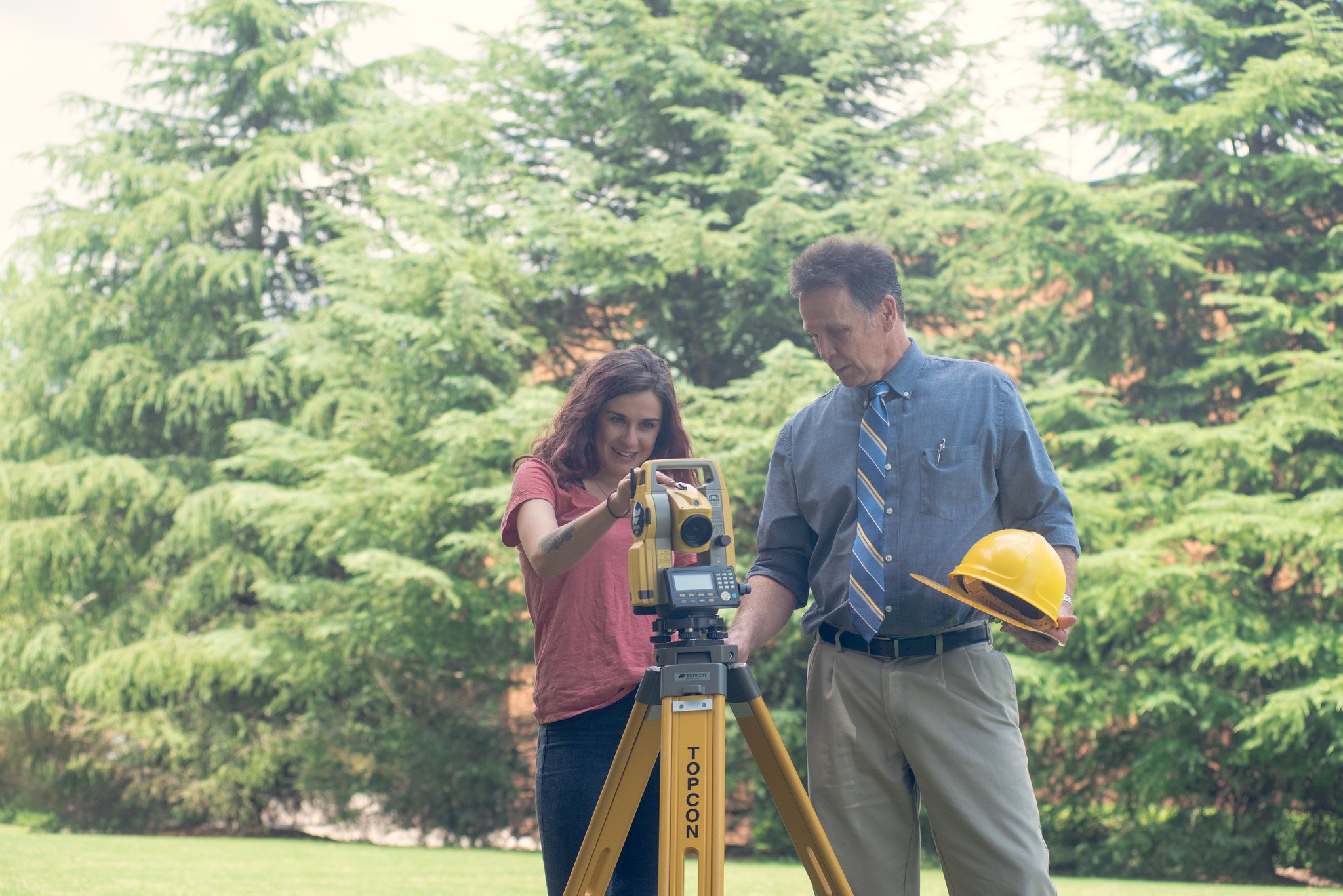
The LEWIS F. ROGERS INSTITUTE FOR ENVIRONMENTAL AND SPATIAL ANALYSIS (IESA), promotes environmental and geospatial interdisciplinary education with advanced technology and collaborative learning. IESA students follow a curriculum built around a solid core of geospatial science and technology and related courses in areas of their interest, such as environmental science, environmental studies, engineering, education, urban planning and community development, environmental health, and the geosciences. IESA is recognized as a quality national program by the GeoTech Center and a National Center of Academic Excellence in Geospatial Sciences by the National Geospatial Intelligence Agency (NGA) and the United States Geographic Service (USGS).
Support the Institute for Environmental and Spatial Analysis
-

Lewis F. Rogers Institute for Environmental and Spatial Analysis Fund
Help students follow a curriculum of geospatial science and technology and meet the demand for highly skilled technicians in the burgeoning field of geospatial technology.

